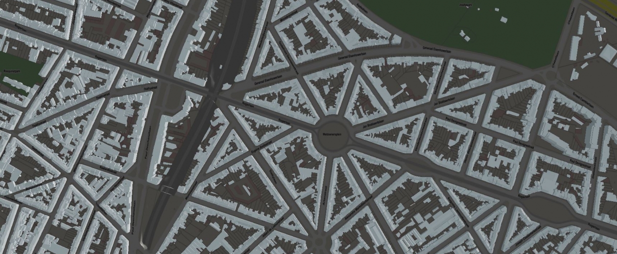
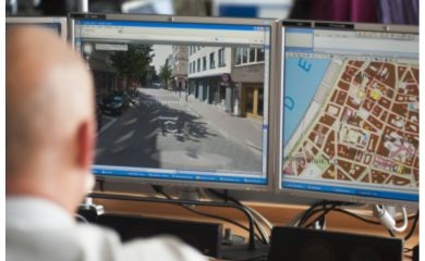
The Centre for Informatics of the Brussels Region (CIRB) manages UrbIS, a set of geographic data, tools and applications. CIRB recently launched a new version of UrbIS. It relies on GIM for the quality control of its 3D data.

UrbIS contains a wealth of geographic and alphanumeric data on the territory of the Brussels Region. Originally, only 2D data were available. Recently, CIRB decided to extend it to 3D data, in the form of building contours. This addition was done on the basis of LiDAR Point Cloud data.
The solution: rigorous validation of data
Many public services rely on high-quality geodata for their operation. In order to guarantee the quality of their data, CIRB decided to set up a meticulous control mechanism for updating their (3D) data. GIM tackled this assignment with great enthusiasm, using FME, Safe Software's powerful ETL tool (Extract, Transform, Load).
GIM implemented no fewer than 17 validation rules. This allows the CIBG, in a fully automated manner:
- check the geometric and topological characteristics of the data (both 2D and 3D);
- check the completeness of the data
- ensure that the various data layers are consistent.
When an error is detected, it is displayed using a polygon that includes the shape and exact location of the error.
Intuitive to use
GIM designed all personalised validation rules using FME Desktop. This provides the CIRB with an intuitive application to manage and further develop the validation rules itself.
Contact us
Your input was sent successfully.
Error
Service Desk
Already a customer? How can we help you?
Service Desk


