
Safety is an absolute priority for air traffic control authorities. Therefore, reliable information on potential obstacles such as yard cranes, high-voltage power lines and wind turbines is crucial. A user-friendly reporting platform ensures that this information flows quickly and correctly to a central database.
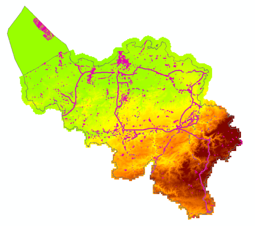
eTOD or "electronic Terrain and Obstacle Data" refers to Chapter 10 of Annex 15 to the Chicago Convention on International Civil Aviation. It lays down international rules on the content, production and publication of digital terrain models and geographical data on obstacles to air traffic. For our country, the NGI (National Geographical Institute) plays a key role as it produces information for the aviation sector to which eTOD applies.
In 2017, the FPS Mobility and Transport, the Ministry of National Defence and the NGI concluded a cooperation agreement for the adaptation, management and exploitation of obstacles and terrain data for aviation.
NGI was mandated to manage a geospatial database of terrain obstacles and keep the information up to date.
User-friendly reporting platform
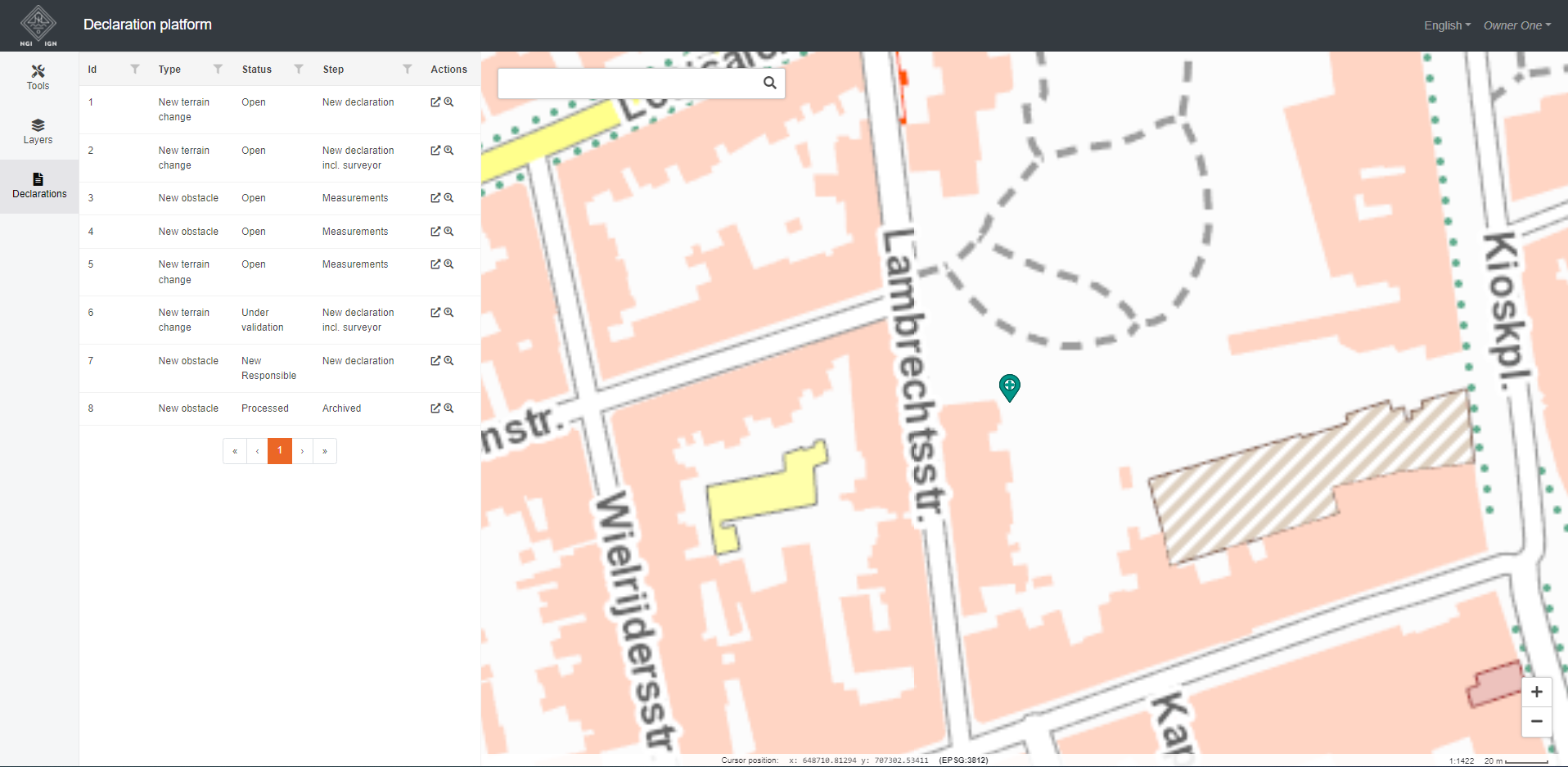
NGI entrusted GIM with the task of developing an online reporting platform. Through this platform, surveyors and clients of large construction projects should report new, updated and disappeared obstacles and terrain changes to the government using a digital map.
The eTOD reporting platform allows project owners to report the exact location of temporary and permanent obstacles and relief changes via the map. In addition, surveyors can record detailed measurements and additional data on obstacles and relief changes.
The platform supports a complex reporting status flow, with advanced forms. It facilitates file and geometry uploading, performs various validations and takes into account editing rights based on the user profile in all this. Every night, the platform automatically synchronises with NGI's eTOD database.
Powered by Geoblox
For this notification platform, GIM deployed Geoblox, its in-house developed framework for developing customised web-based and mobile mapping applications. Thanks to the deployment of standard modules in Geoblox, NGI was able to take a 'quick start' and start using a first basic version of the application in a short time. Moreover, Geoblox is based on an open architecture and open standards, ensuring smooth integration with other components. After the launch, GIM will be responsible for operating and maintaining the platform for four years.

Contact us
Your input was sent successfully.
Error
Your contact person

An Heirman
+32 (0)16 40 30 39 +32 (0)16 40 30 39
Service Desk
Already a customer? How can we help you?
Service Desk