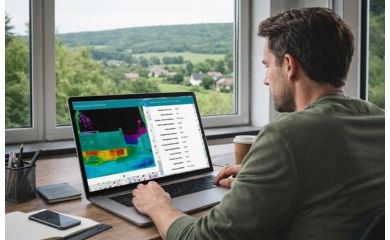
Traffic jams and travel times, incidents and roadworks, in real time and historically: the new website of the Flemish Traffic Centre offers it all. In partnership with AUSY, GIM was responsible for the user-friendly and powerful map application with a host of useful functions. This provides motorists with a wealth of information on the situation on Flemish motorways.
The Flemish Traffic Centre is committed to smooth and safe traffic on the main Flemish roads. It dynamically controls traffic flows, monitors tunnels and supervises technical road installations, 7/7 and 24/24.
New website
Informing road users is an important aspect of the Vlaams Verkeerscentrum's mission. That is why it invested in a new website, equipped with all the gadgets needed to inform motorists quickly and correctly about the situation on Flemish motorways. The assignment was awarded to the partnership between AUSY and GIM, which previously earned its stripes by building the award-winning website for Solar Map Flanders.
A wealth of useful features
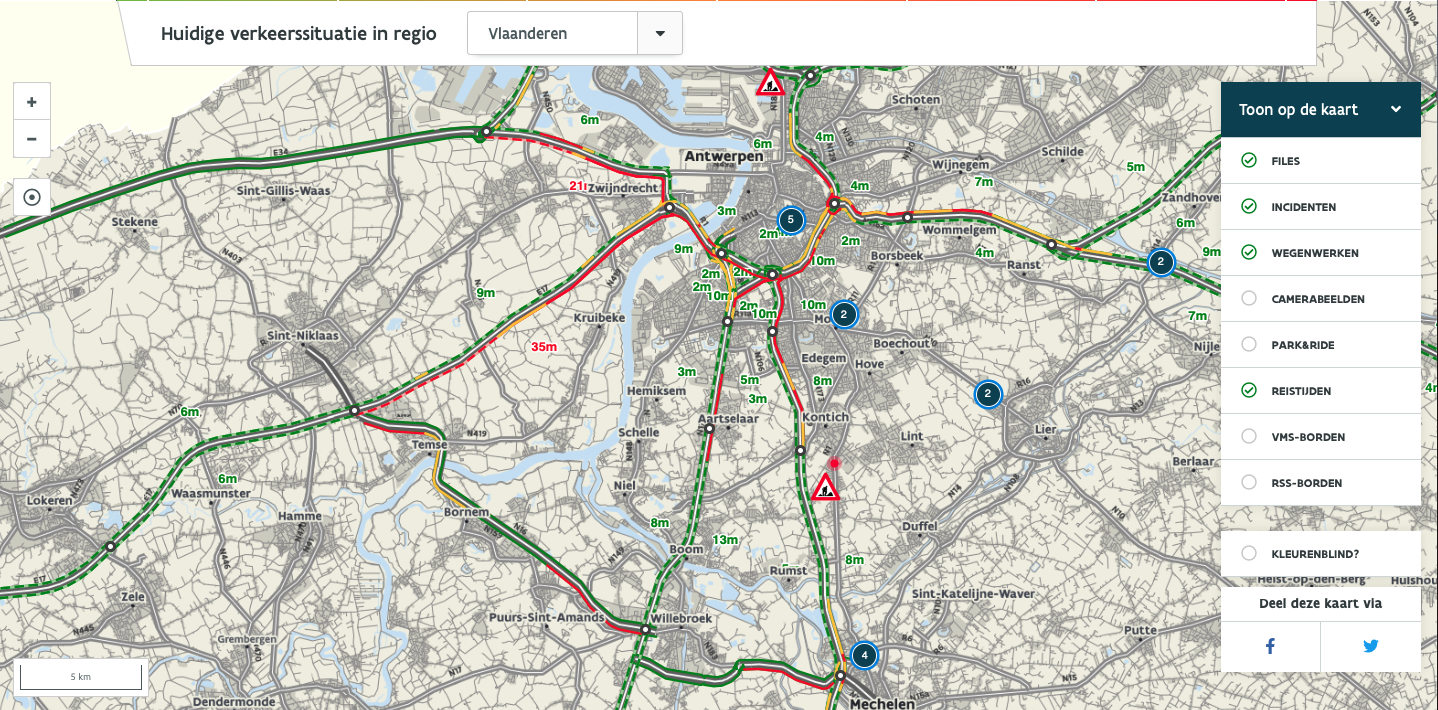
The Verkeerscentrum website contains numerous features that inform motorists about the current AND historical traffic situation. The map module provides a clear overview of traffic density on motorways, including incidents, roadworks and journey times. In addition, the user can also consult real-time camera images and dynamic speed signs.
The traffic jam barometer provides motorists with the course of daily traffic jams, allowing drivers to estimate expected traffic density. With a personal profile, you can tailor all this information to your own needs.
Strong partnership
The website's background map is provided by the Traffic Centre. To develop the site, AUSY took care of building the Content Management System (Drupal), while GIM focused on developing the map module. This includes managing the various information layers, displaying incidents, roadworks and cameras, interacting with the Drupal CMS via APIs and calculating the best route between two locations.
For those in the know, the map component is implemented as a JavaScript Widget that runs entirely in the end-user's browser and does not require any specific browser plugins. This widget is based on OpenLayers, AngularJS and Bootstrap. If you select a node, that specific region is passed to the map via an API. That way, the map can position itself and zoom in on the selected region.
Finally, GIM also deployed its geodata expertise so that the Traffic Centre has a quality road dataset.
Get on the road smoothly yourself with the online road map of the Flemish Traffic Centre >
Contact us
Your input was sent successfully.
Error
Your contact person

An Heirman
+32 (0)16 40 30 39 +32 (0)16 40 30 39
Service Desk
Already a customer? How can we help you?
Service Desk