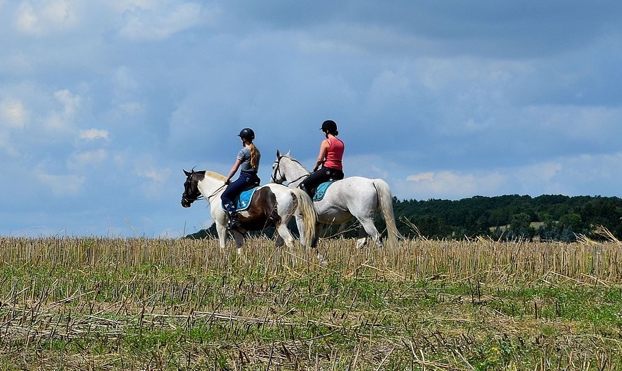
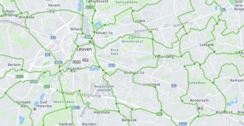
It is only natural that Visit Flanders wishes to promote the provincial walking and cycling routes. They are a major attraction for young and old, attracting holiday-makers from around the world. A smart tool integrates the provincial junction data together, so that hikers, cyclists and horse-riders can find their way more easily.

The challenge: correct junction data from different data sources
Route networks comprise a large amount of geographical data. This is managed by the provincial tourist organisations in Flanders.
Jos Pyck, a Marketing Office Consultant for Visit Flanders, confirms: “Manually collating all this provincial data used to take up a great deal of our time and effort. And when something was altered in the merged data set, this was not always conveyed back to the provinces consistently. That meant that holiday-makers were not always presented with the correct junction data, making it harder for them to use it.”
"In the digital age, holiday-makers are making ever-higher demands of the available information on route networks: they want to be able to view walking, cycling and horse-riding routes in real time through apps or mobile websites. This requires a high degree of accuracy from the junction data, which also needs to be geometrically correct so that route planners can make the best use of it."
Each of these issues is a challenge that spurred Tourism Flanders on to seek out a way of automatically collating the provincial junction route data into a single, high-quality Flemish route network.

The solution: data integration and validation powered by FME software
GIM rolled out a solution for Visit Flanders that automatically collates the provincial walking, cycling and horse-riding routes into a single, reliable data set. Tourism Flanders then distributes this as open data via its data portal.
An Heirman, Team Lead at GIM, explains: “We developed a cloud solution based on FME. This software is supremely suited to convert and integrate data from a range of sources and formats.”
“Our solution then verifies whether the networks are routeable, detects any errors and removes duplicates in border regions: junctions at provincial and national borders, which will often occur in multiple source data sets, will only be included once.”
“To tackle any inaccurate or incomplete data at the source, we send a daily validation report to the provincial services. This allows them to track down and rectify any deficiencies in their data," An explains.

The result: a unique and high-quality data set
The result is a unique and high-quality data set that integrates the routes from the various provinces together - the foundation of choice upon which to develop mobile applications for hikers, cyclists and horse-riders.
Jos Pyck: "Visit Flanders made the decisive choice to use an open data solution. Mobile app developers can get started with a single harmonised data set from now on. Furthermore, we publish a "delta file" - a data set containing only changes - through the cloud. This ensures that users can always have the latest version to hand without the need to download the entire data set again."
Visit Flanders is enthusiastic about the collaboration. Jos Pyck: “We found a flexible and experienced partner in GIM, who were able to present a solution that was ready for use within a month.”
(c) images: milo-profi.com, Geopunt

Contact us
Your input was sent successfully.
Error
Your contact person

An Heirman
+32 (0)16 40 30 39 +32 (0)16 40 30 39
Service Desk
Already a customer? How can we help you?
Service Desk


