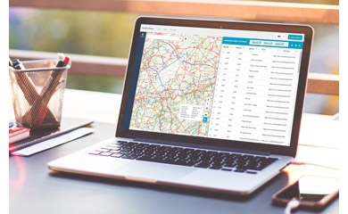
Want to convert your geodata automatically into any format, integrate it throughout your company and make it easy to share? GIM can set you on the right path with the useful FME® tool.
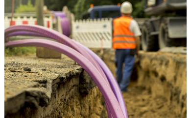
See the unseen with Augmented Reality for GIS and BIM
Make connections between activities and location. Visualize your customers and your market. Carry out clear geomarketing analyses.
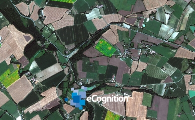
Analyze satellite and other images automatically and interpret them correctly, both accurately and quickly.
Your input was sent successfully.
Error
GIM respects your privacy. We collect your data in order to process your request. We might also keep you informed about GIM's products or services. We will not pass on your data to other organisations under any circumstances. You are entitled to review your data and withdraw your consent for its processing. Consult GIM's privacy policy for more information.
Already a customer? How can we help you?
We use cookies to ensure you have the best browsing experience. Learn how we use cookies and how you can determine what is applicable during your visit by consulting our cookie policy.
Allow all
Save my settings