eCognition
eCognition: the software application for analyzing satellite images
Interested?

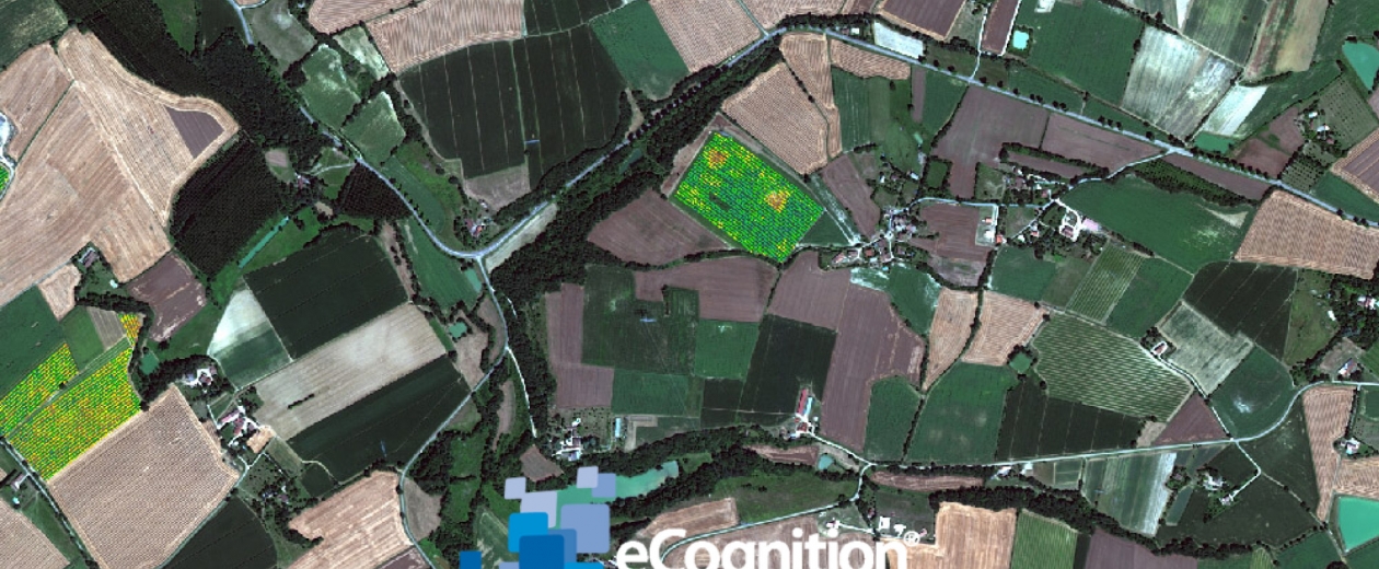
With eCognition from Trimble, you can analyze satellite and other images automatically and interpret them correctly, both accurately and quickly.
Extract information from images automatically: eCognition technology (formerly Definiens) is a sound competitor to rival the cognitive power of the human brain.
Trimble's eCognition software is available in a range of packages – and GIM is the only address you need for help and support. An overview:
- eCognition Developer: a dynamic development environment for object-oriented image analysis. It is used for applications such as Earth observation and interpreting satellite data.
- eCognition Architect: the ideal eCognition tool for professionals who are not necessarily GIS specialists. It enables numerous users – from cartographers to urban planners and forestry managers – to carry out, configure, calibrate and integrate image analyses in their daily tasks.
- eCognition Server: a powerful process environment that enables you to integrate image analyses seamlessly in your business processes.
Want to find out more about eCognition and possible applications for your organization? Then ask us!


