Towards a successful INSPIRE data harmonization for the Grand Duchy of Luxembourg
Towards a successful INSPIRE data harmonization for the Grand Duchy of Luxembourg

GIM provided the Government of the GD of Luxembourg with a series of tools to make its geodata and services compliant with INSPIRE according to the European Commission’s deadline.

The challenge
To make it easier to find and exchange geographic data across the EU, the European Commission drafted the INSPIRE directive in 2007. Its implementation stretches over more than a decade with various deadlines in the period 2010 till 2021. The last deadlines relate to interoperability of datasets and services with deadlines in November 2017 and October 2020.
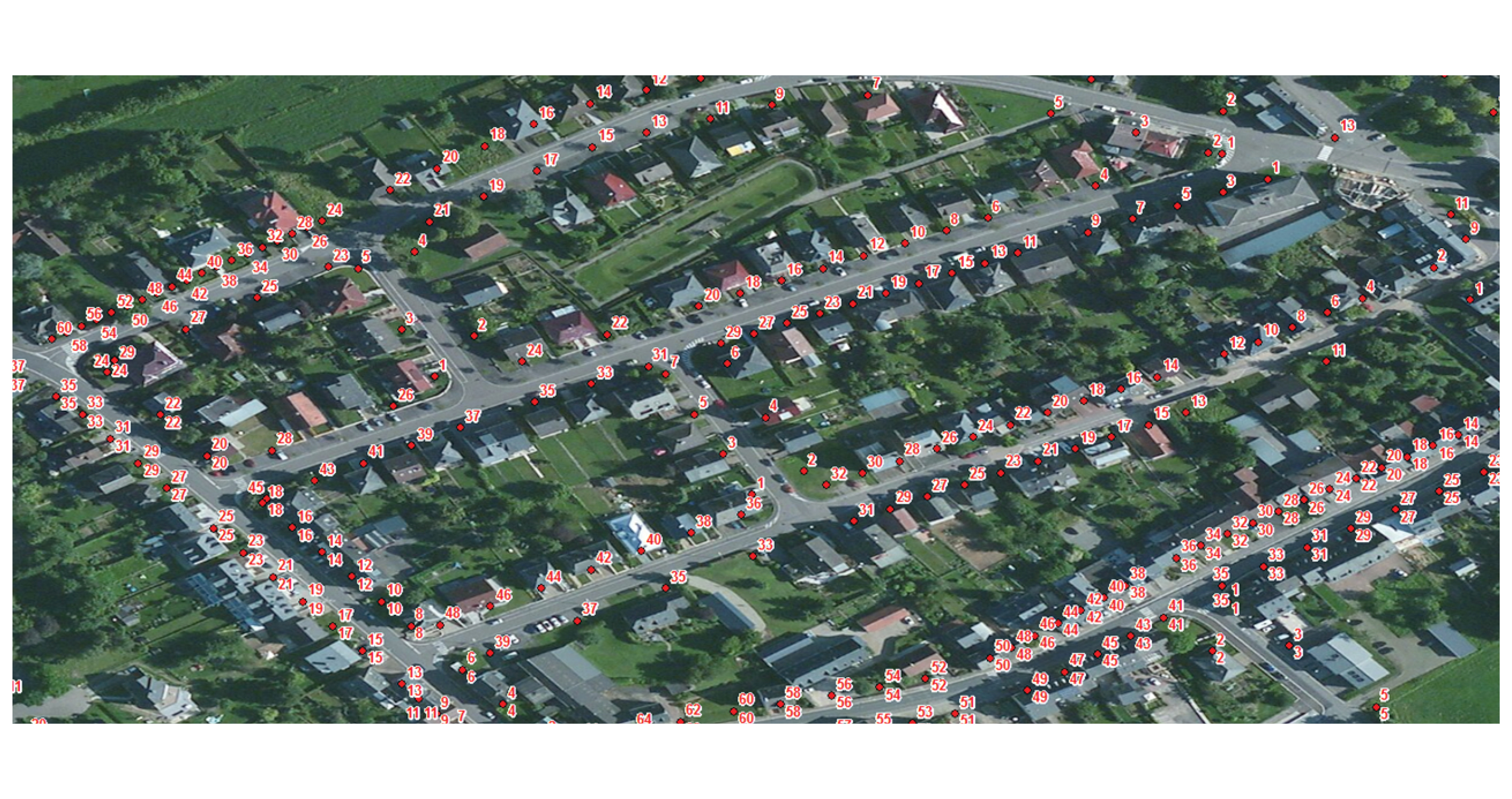
Charged with the task to provide an interoperable spatial data infrastructure for the whole of the Grand Duchy of Luxembourg, L'Administration du Cadastre et de la Topographie (ACT) is responsible for more than 250 datasets from 22 government entities. These sets include spatial data used in environmental studies and policies, such as cadastral parcels, protected sites, transport networks, etc. Needless to say, harmonizing all these different types of data and formats is quite a job considering the tight deadlines.

The solution
To pave the way for a (cost-)efficient implementation, GIM helped ACT define an organizational setup where all tasks related to dataset harmonization and publication are carried out by a central support team. This was translated into a roadmap, providing an overview of:
- the tasks related to dataset harmonization;
- the roles and responsibilities of the support team;
- the estimated timing and progress towards achieving project goals.
Using FME - a leading data integration software - as its data harmonization and publication tool, ACT and GIM then set up a fully automated workflow. The workflow enables ACT to automatically:
- read different geographic datasets from their source and transform them according to the INSPIRE data specifications;
- upload datasets to the Open Data portal and insert the data into PostGIS, an open-source database including spatial functions such as distance, area, intersection, and so on;
- configure the data sets to make it possible to visualize and view them on GeoServer, an open source server for sharing geospatial data;
- update metadata records to the cataloguing application GeoNetwork;
- test the INSPIRE conformity of the datasets and services.
The result
GIM's INSPIRE expertise and FME knowledge helped the Grand Duchy of Luxembourg to automatically convert, share, process and validate the large sets of geographical data to become INSPIRE-compliant on time for the INSPIRE ANNEX I deadline of 23 November 2017.
Contact us
Your input was sent successfully.
Error
Service Desk
Already a customer? How can we help you?
Service Desk


