Developments such as the Internet of Things (IoT) and artificial intelligence (AI) are paving the way for new technologies to perform accurate simulations. One such innovation listens to the name 'digital twin'.
Predict reality through simulation
Digital twin technology was first used by US space agency NASA to simulate conditions aboard the manned Apollo 13 mission. With the rise of IoT and AI, the development of the digital twin gained momentum. IoT provides the necessary sensor data. This data is in turn used to build an AI model that then allows simulation of future behaviour under varying conditions.
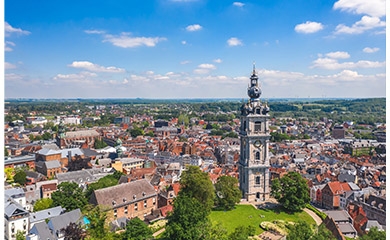
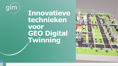
The concept is also on the rise in geopractice. A 'geo digital twin' is the platform for designing, validating, applying and maintaining the full life cycle of the built environment. It allows you to model interventions and incidents on the ground and map the effects and consequences three-dimensionally.
Not science fiction: the concrete applications
A digital twin allows the simulation of different scenarios, also mapping peripheral phenomena. The application possibilities are numerous. Here are just a few examples:
- mobility: simulating the effects of mobility measures such as a speed reduction, changes to traffic lights or the introduction of one-way streets;
- spatial planning: identifying the effects of redevelopment of a particular site or urban district on parking pressure;
- environment: measuring the effect of redeveloping a park on air quality, noise pollution and urban heat islands;
- insurance: determine the potential damage and the effect on the insurer's portfolio if, for example, a particular city district were to flood
- disaster prevention and mitigation: determine the optimal siting of a high-risk activity or develop an evacuation plan for different doomsday scenarios;
- energy management: simulate a grid operation, measure the impact of the failure or addition of generation capacity or model supply and demand in local energy communities. .
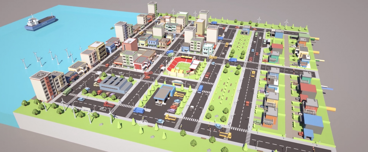
Data as the foundation of the virtual world
The foundation of a geo digital twin is a three-dimensional base map of the environment that is continuously up-to-date. The data must be qualitative, complete and up-to-date to obtain a reliable digital twin. The basic 3D model is built with available open data sources.
But these open sources are not perfect and are therefore supplemented with additional datasets for more completeness, higher quality and a more precise geometric detail level. The elements necessary for a robust 3D model vary from application to application. Sometimes data for environment-specific parameters are needed. Suppose you want to map the flood risk of sewers. Then data from the sewer network are indispensable.
Integration possibilities galore
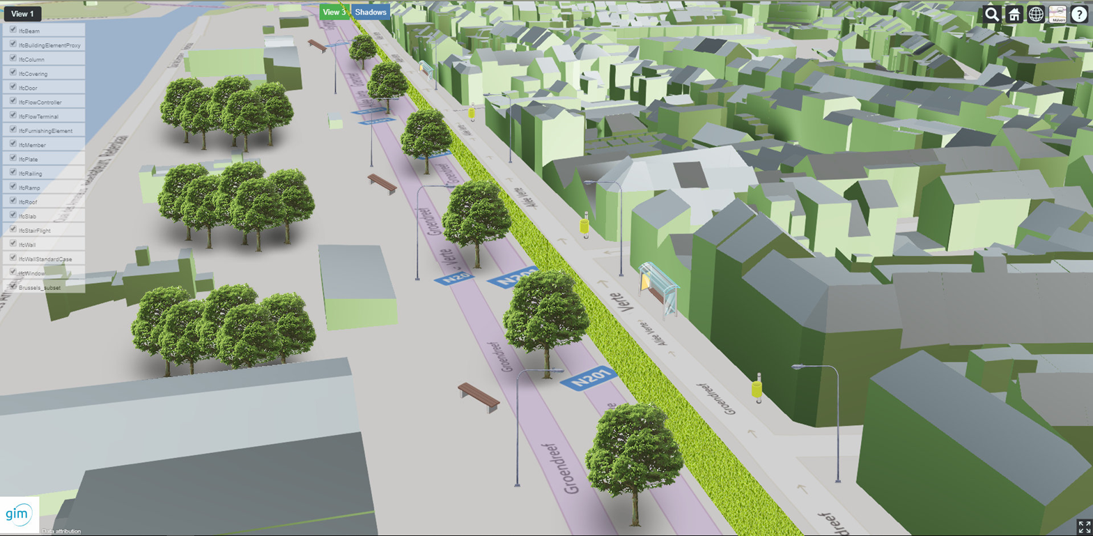
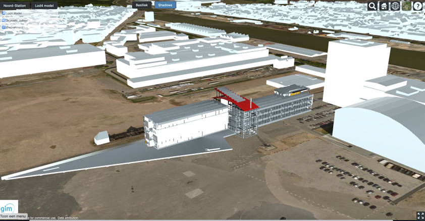
To make accurate simulations, the timeliness of the 3D database is essential. Other data systems can be integrated to keep the basic model up-to-date. During the design phase of a building or infrastructure, for example, you can integrate the Building Information Model (BIM) into the digital twin. This gives you a good picture of the future building in its spatial environment and allows you to simulate and optimise the entire building process: from material supply over construction, delivery and maintenance to even demolition and recycling.
Earth observation data, in turn, can be used to detect changes in the landscape. By incorporating this data into the digital twin in an innovative way, the time between an effective mutation in the field and its availability in the digital twin is reduced.
In the future, even a quasi-real-time update of the digital twin will become possible thanks to increasingly frequent image captures. Deep learning, a form of AI that allows systems to process unstructured data autonomously, will be applied to those images. The integration of data available in the public domain management system also ensures a reliable and more complete 3D model.
The possibilities of a geo-digital twin reach far, that much is clear. They allow us to take more accurate decisions and precautionary measures based on advanced simulation models. Although the reliability of these simulations always stands or falls with the quality, completeness and timeliness of the data.
 |
Want to know more about geo digital twinning? Then watch our Webinar or download our clear (Dutch) eGuide on innovative techniques for Geo Digital Twinning now. |