eCognition
eCognition: dé softwaretoepassing voor het analyseren van satellietbeelden
Meer weten?
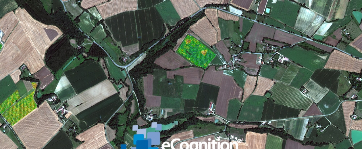
Automatisch informatie halen uit beeldmateriaal: met de technologie van eCognition kreeg de cognitieve kracht van het menselijke brein een gedegen concurrent. Deze software staat je toe zowel microscopische celstructuren als satellietbeelden grondig te analyseren en adequaat te interpreteren. En dat alles in een mum van tijd.
De software van eCognition is verkrijgbaar in verschillende pakketten. En GIM is hét adres voor begeleiding en ondersteuning. Een overzicht.
- eCognition Developer: een dynamische ontwikkelingsomgeving voor object-georiënteerde analyse van beeldmateriaal. Wordt onder meer gebruikt voor aardobservatie en interpretatie van satellietdata.
- eCognition Architect: de ideale eCognition-tool voor professionals die niet meteen GIS-techneuten zijn. Tal van gebruikers – van vegetatiecartografen, over stedelijke planners, tot boswachters – kunnen zo beeldanalyses uitvoeren, configureren, kalibreren en integreren in hun dagelijkse taken.
- eCognition Server: een krachtige procesomgeving waarmee je beeldanalyses naadloos in uw bedrijfsprocessen integreert.
Meer info over eCognition en de mogelijke toepassingen voor je onderneming? Stel ons de vraag!