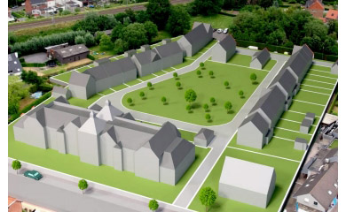
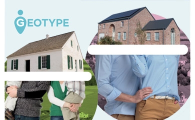
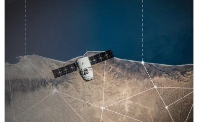
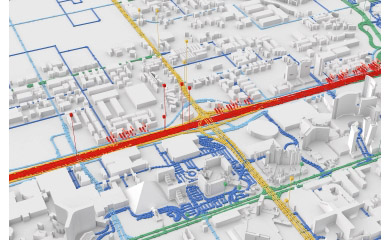
Spatial Data Catalog

Geodata: relevant and up-to-date geographical business insights

Interested?

GIM can provide the most diverse and up-to-date geodata and offer you relevant geospatial insights for your organization. Here is an overview of the possibilities on offer.

Statistical data

Socio-demographic statistics on target regions provide your marketing and sales staff with an invaluable source of information: from the number of prospective customers within a certain area to their family make-up, average income and buying habits.

You can gain ground-breaking insights, with or without the help of a geographical information system (GIS), into both Belgium and surrounding countries and regions as well as on various levels of scale.
 

Postcode maps

GIM's postcode maps show all the European postcodes and associated postcode borders. You can choose the level of detail yourself.

Postcode maps provide the perfect structured overview of the way that all your activities are geographically distributed, enabling you to visualize and evaluate the geographical distribution of prospective customers or regional sales, for example.
 

Administrative maps

These maps show the administrative borders for Belgium and Europe based on various levels of scale, as well as the statistical sectors – the smallest territorial units within a country – making them the ideal tool for presenting demographic information on all your stakeholders clearly and enabling the thorough analysis of your statistical data.
 

Lists of street names

GIM can provide you with complete lists of street names for a town, province or country of your choice. They are the source of reference when it comes to standardizing your address files.
 

Points of interest

Hotels, shopping centers, petrol stations: your organization has numerous points of interest. These can be mapped using a GIS system and combined with other maps in order to create a geographical overview of all your business activities, giving you the perfect basis for a detailed analysis of your competitors, stakeholders or environment.    
          

Distance matrices

A distance matrix provides a useful overview of the distance and travel time between selected locations (or postcodes), making it the ideal tool for determining the shortest or quickest routes for your distribution and sales teams. You set all the parameters yourself: the locations of your own offices, speed restrictions according to the type of road or country, etc.

What other benefits do distance matrices offer? Your marketing department can use them as a basis for a branch analysis or for creating a dealer locator tool for your website. This data can also prove to be essential when calculating transport costs and allowances for expenses or making decisions regarding mobility (when setting up carpool systems, for example).

Contact us

All fields are required

Your input was sent successfully.

Error

GIM respects your privacy. We collect your data in order to process your request. We might also keep you informed about GIM's products or services. We will not pass on your data to other organisations under any circumstances. You are entitled to review your data and withdraw your consent for its processing.  Consult GIM's privacy policy for more information.

  • Service Desk

    Already a customer? How can we help you?

    Service Desk