Satellite images ensure an up-to-date picture of the evolution of the landscape in Wallonia
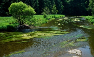
Watercourses, trees and buildings: all examples of elements that determine the structure of a landscape. And they are constantly evolving. GIM has developed a semi-automatic production chain that allows the updating of different reference layers in Wallonia. These tools will allow the geographical data to be updated at regular intervals by reducing the manual workload. The end users will be able to use the reference data in Wallonia.

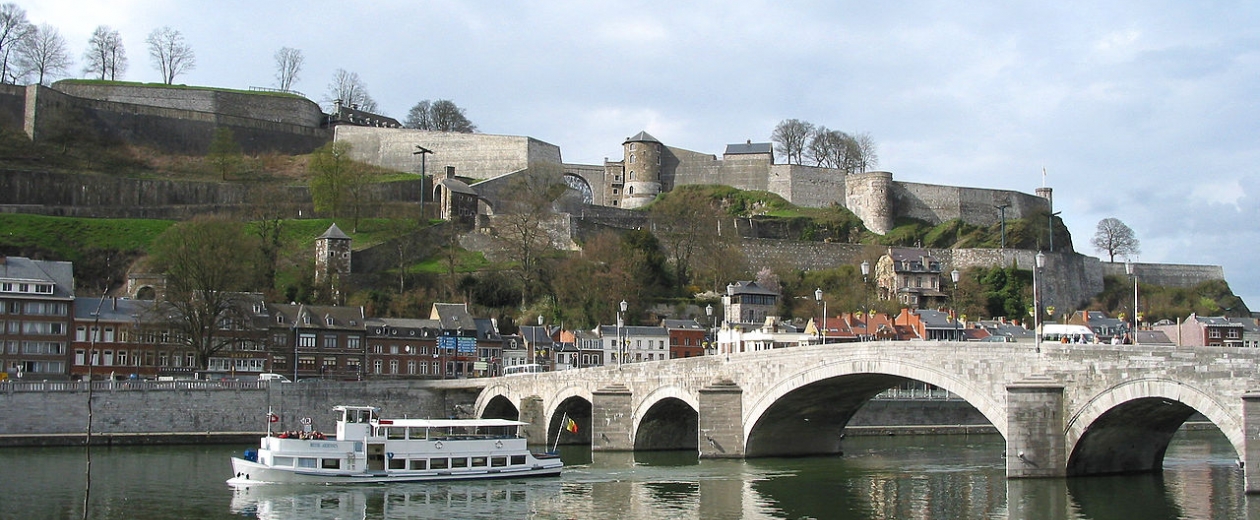
The challenge: keeping the map of Wallonia up-to-date
With more than 16,000 km² for the whole of Wallonia, keeping a map of this size up-to-date is a real challenge for the Region. The real underlying issue involves providing users with increasing amounts of constantly up-to-date data as quickly as possible.
Furthermore, the need for great spatial and thematic accuracy, the complexity of the type of objects to be studied and the extreme variability of possible conversion classes requires the use of advanced image processing techniques and all the expertise of the GIM experts.
The solution: semi-automatic production chains
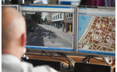
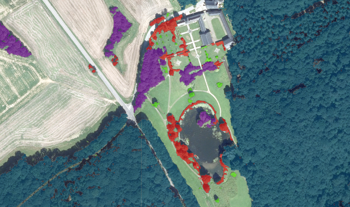
GIM has used Object-Based Image Analysis (OBIA) to meet this challenge. Using this technique, very high resolution orthorectified aerial images are scanned automatically to detect and define objects of interest. GIM experts have gone even further in their analysis; using specific characteristics, they have developed an objective automatic classification of conversion classes, which immediately identifies the objects to be updated in the database.
"Based on the aerial images acquired by the SPW and a precise definition of the objects to be identified, we have developed a series of dedicated processing chains that allow us initially to detect all objects of interest and secondly to analyse the changes compared with an existing database. We have gone further by offering a quality indicator that targets specific situations where we suggest a more in-depth analysis. This gives the SPW a unique tool adapted to their needs", explained Nicolas Matton, remote sensing and geomatics specialist at GIM.
The result: up-to-date information, less manual work
The collaboration between GIM and the SPW has produced a tool that significantly reduces the human labour required to update the database of structural elements in the landscape. This tool is an excellent foundation for future developments and will make it possible to further improve results and to process changes in the Walloon landscape as quickly as possible.
Contact us
Your input was sent successfully.
Error
Your contact person

Véronique De Laet
+32 16 40 30 39 +32 16 40 30 39
Service Desk
Already a customer? How can we help you?
Service Desk