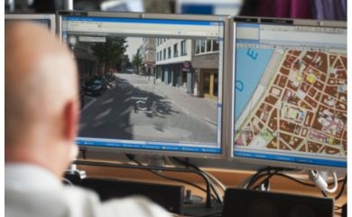
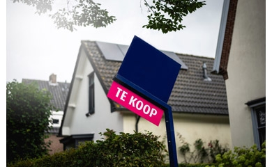
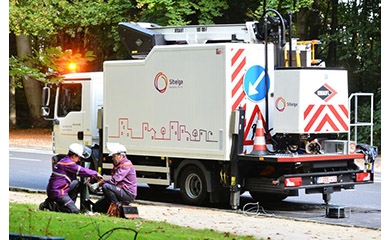
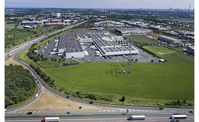
New UNESCO world heritage thanks to Belgian GIS technology

Interested?

The tropical rainforests round the sprawling Maya site of Calakmul (Mexico) was recognised as natural world heritage site by the UNESCO in 2014. Calakmul joined the select circle of places that can call themselves “mixed cultural and natural world heritage” sites. This recognition was made possible thanks to an advanced information system for heritage sites made in Belgium.

Customer: Belspo, UNESCO
Solution:
New UNESCO world heritage thanks to Belgian GIS technology

Managers of major heritage sites are often faced with the same challenges:  how do you manage efficiently the enormous amount of information about the site? How do you document how the site has evolved through time? What actions are necessary to ensure the preservation of the site?

To provide an answer to such questions, the Belgian Science Policy Office (BELSPO) concluded a cooperation contract with the UNESCO World Heritage Centre.  This agreement provided for a series of research and development projects geared to managing UNESCO heritage information better.

Heritage in 4D

A Belgian consortium headed by GIM delved into improving the information management for the Calakmul site in Mexico.

Together with the Universities of Leuven, Ghent and Liège, GIM developed an instrument that enables the managers of Calakmul to collect, manage and disseminate all available information on the site. The geographic information system uses technology such as satellite images and 3D models to map the sprawling heritage site.  One unique feature is that the time dimension can be integrated in spatial analyses.  This gives managers insight into the ecological and archaeological developments through time. Because of this extra dimension, the system was christened “Calakmul 4D GIS.”

Extension to the Silk Roads

A similar technology was used to nominate another heritage site, namely the Chang'an-Tianshan Corridor, a 5,000 km segment of the Silk Roads network.  Because of its expanse (33 sites in 3 Central Asian countries), a smart geographic information system was needed here also for planning, documentation and information management. The Raymond Lemaire International Centre for Conservation (RLICC) of the Catholic University of Leuven, together with GIM, the University of Ghent and RouteYou, built a system that laid the foundations for the recognition of this trans-national site as UNESCO world heritage in 2014.

About Calakmul 4D GIS

Calakmul 4D GIS is based on the GIM GeoCMS, an advanced Content Management System (CMS) that combines the traditional properties of a web CMS (management and publication of information via the Web) with the spatial analysis and display features of a Geographic Information System.

Managers can use the GIM GeoCMS to monitor, document and manage the archaeological and ecological situation of the heritage site. The system features a virtual visit to the site as well as support for the time dimension. A special module is used to compile a nomination file for UNESCO world heritage.  Managers can create their nomination file in the format required by UNESCO at the push of a button. 

Contact us

All fields are required

Your input was sent successfully.

Error

GIM respects your privacy. We collect your data in order to process your request. We might also keep you informed about GIM's products or services. We will not pass on your data to other organisations under any circumstances. You are entitled to review your data and withdraw your consent for its processing.  Consult GIM's privacy policy for more information.

  • Service Desk

    Already a customer? How can we help you?

    Service Desk