The challenge: on-site information management
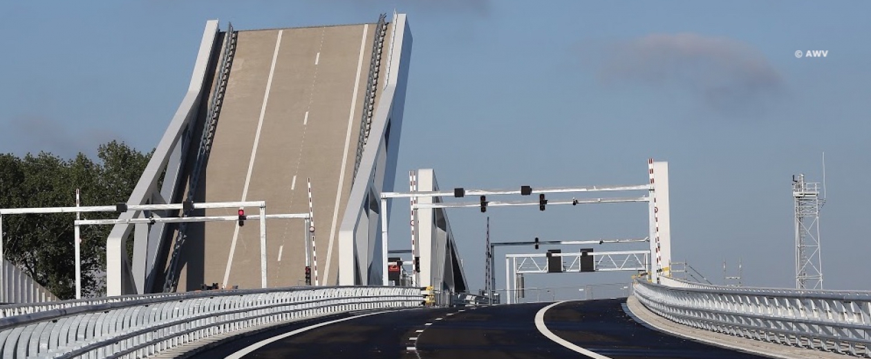
Incident reports, scheduling inspections, carrying out activities, etc. To say that the building and the maintenance of the A11 motorway between Bruges and Knokke-Heist involves an extensive influx of information is an understatement. To facilitate this exchange of information between different companies, the contractor consortium THV EPC Via Brugge* was looking for a mobile data application with which it could easily get started on site.
The solution: from CAD to GIS
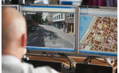
Accordingly, GIM developed a mobile GIS application that serves as a geographic information system. “The fact that GIM presented an open source solution, in which we can adjust certain aspects ourselves, was the deciding factor for us to collaborate with them”, says Joos Dewulf, Head of Prevention, Environment and Quality at the contractor consortium.
During the development of the app, neither party rushed through things. “Our infrastructure plans, such as for the A11, are drawn with CAD software”, Joos continues. “GIM had to convert them to a GIS format so that the mobile app could process them. Then, aerial photographs of the site were added. These serve as background maps to indicate information such as delivery points with GPS coordinates and mileage indication.”
During the delivery of the A11, THV EPC Via Brugge used the app to locate and document action points on the site via a central database in the cloud. That happened every time during the rounds with the client and the Agency for Roads and Traffic. Thus, all parties involved were able to quickly get to work with the information collected and intervene where necessary. In the future, the consortium will use the app to accurately plan, execute and manage inspections and maintenance work along the motorway.

The result: a handy app
“Digitalisation in the construction sector is a fairly recent phenomenon”, Joost summarised. “Information exchange is an important success factor, especially in large and complex projects where many parties join forces. GIM helped us achieve this by being flexible and at the same by decisively opting for a cloud solution. It is available continuously - both online and offline - so that all companies in our consortium have easy access to the same information. And that makes collaboration a lot easier.”
“We are pleased to continue working with GIM to refine the app”, Joos concludes. “But, also in the long term, more avenues remain open. We can couple the information that we collect with the GIS app with other data sources. Think of new CAD designs and aerial photographs, or the KLIP platform, with which all underground cables and pipelines can be requested. Also, the large-scale reference file is among the options – with data about Flemish buildings, parcels, roads, infrastructure, etc. All this creates opportunities to deliver and maintain larger projects, such as industrial sites and transport networks, even more efficiently. ”
* The THV EPC Via Brugge contractor consortiumis made up of 5 contractors: Jan De Nul, Aclagro, Aswebo, Franki Construct and Van Laere.

Contact us
Your input was sent successfully.
Error
Service Desk
Already a customer? How can we help you?
Service Desk