Better understand and organise your environment? Rely on customised geo-applications that work not alongside but with your other applications.
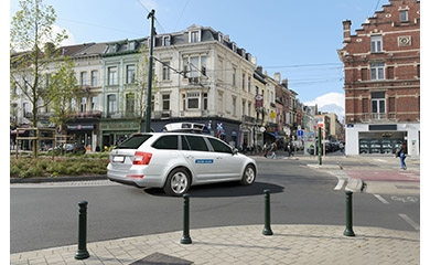
Ensuring perfect parking guidance in large cities, calculating the solar potential of all Flemish roofs or ensuring a smooth exchange of information during major works: geo-applications are indispensable for better understanding and organising your environment.
Choose the solution that suits you
Integrating geo-applications in your organisation can be done via various platforms:
WebGIS
Use WebGIS technology to embed interactive maps in your website or intranet. From management to visualisation and in-depth analysis of your geographic data: the possibilities are endless. Especially for customised WebGIS applications, GIM developed the modular framework Geoblox specifically for building customised spatial applications with advanced data exploration, editing and analysis.
Desktop GIS
Desktop GIS software such as QGIS and ArcGIS are highly suitable for creating, publishing and sharing advanced spatial analyses within your organisation. We can also tailor these tools perfectly to your organisation and processes.
Mobile GIS
Want to make your information easily accessible anywhere, anytime? Responsive websites, apps and hybrid solutions meet all your requirements.
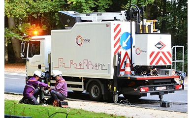
Read here how a mobile app is used in the construction and maintenance of a new motorway.
Open source GIS
Don't want to be tied to one manufacturer and save on licence fees? Powerful Open Source tools such as PostGIS, GeoServer, GeoNetwork, Open Layers and QGIS are used by numerous companies and governments worldwide.
Collaborating with GIM: how does it feel?
As an independent Geo-ICT integrator, GIM has in-depth knowledge of the geo-industry. When developing applications, we rely on four basic principles:
- Sophisticated project management and a lifecycle approach: we take responsibility from design through implementation to maintenance.
- We are not tied to one manufacturer or technology, but propose a solution adapted to your specific needs.
- Our developments conform to industry standards. We are also big fans of open standards as defined by the OGC. Many customers call on our expertise to align their data and services with the INSPIRE directive and High-Value Datasets (HVD).
- Ease of use is central to our design. It is no coincidence that our customers regularly win awards for the geo-applications they realise with GIM.
Are you looking for a geo-partner who thinks with you about how best to comply with your legal obligations, increase your productivity or improve your services? Give us a call. We are all ears.