Our DNA
Self-organizing teams
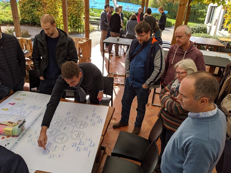
Our teams and processes are consciously built to give a maximum of autonomy to each member. We distribute clear areas of responsibility in which our GIMers are given full decision power. This is an invitation to learn, take initiative and create your own impact!
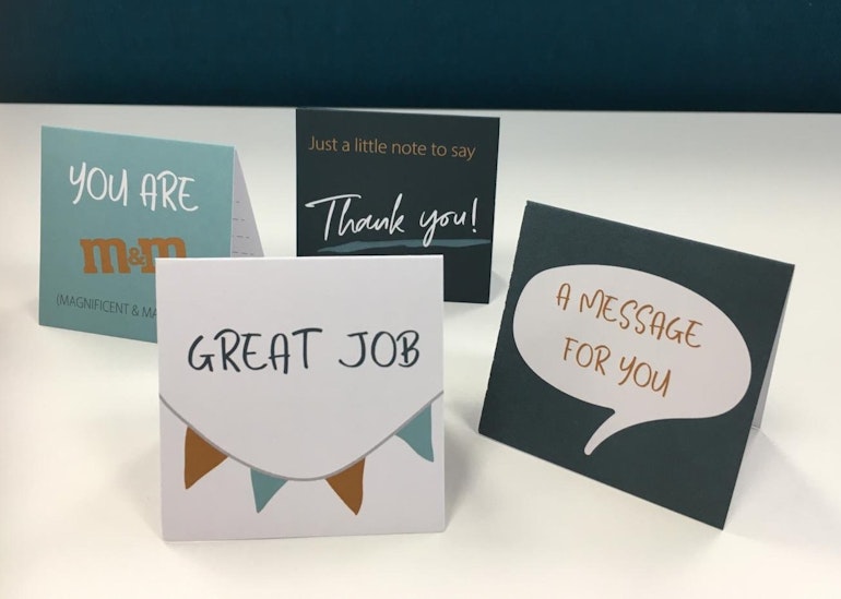
Feedback culture
Thorough feedback leads to a better insight into our skill set and is the key to great working relationships and collaboration. This is why at GIM we work with 360° feedback and provide our GIMers with regular feedback training.
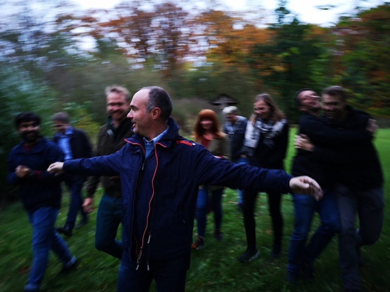
Fun with colleagues
We value the warm relationships we have within our team of GIMers. We believe it is important to treat everyone with care and respect, and to regularly meet for Friday Drinks or Town Hall meetings with fun activities.
Corporate Social Responsibility
We actively work on having a positive impact on society, and respecting and preserving the environment. For this reason we launched our Mobility Plan, make conscious decisions about projects and customers, and embedded a gift to good causes in our rewarding process.
Our perks
Mobility budget
Our experienced employees can choose for a mobility budget which they are free to spend, fitting to their personal needs.
Flexibility
Our offices are located in Leuven and Gembloux, but our teams are encouraged to find their own optimal balance with teleworking.
Seniority Rewarding
All GIMers are rewarded with extra holidays after five and ten years of seniority, and celebrated at our Town Hall meetings.
Learning and knowledge sharing
We all receive training days and a budget to keep our skills up to date. We actively encourage knowledge sharing internally through lunch meetings open to all GIM members.
Jobs
No vacancies were found for this filter
Adjust your search filters.